-
mapping
redefined
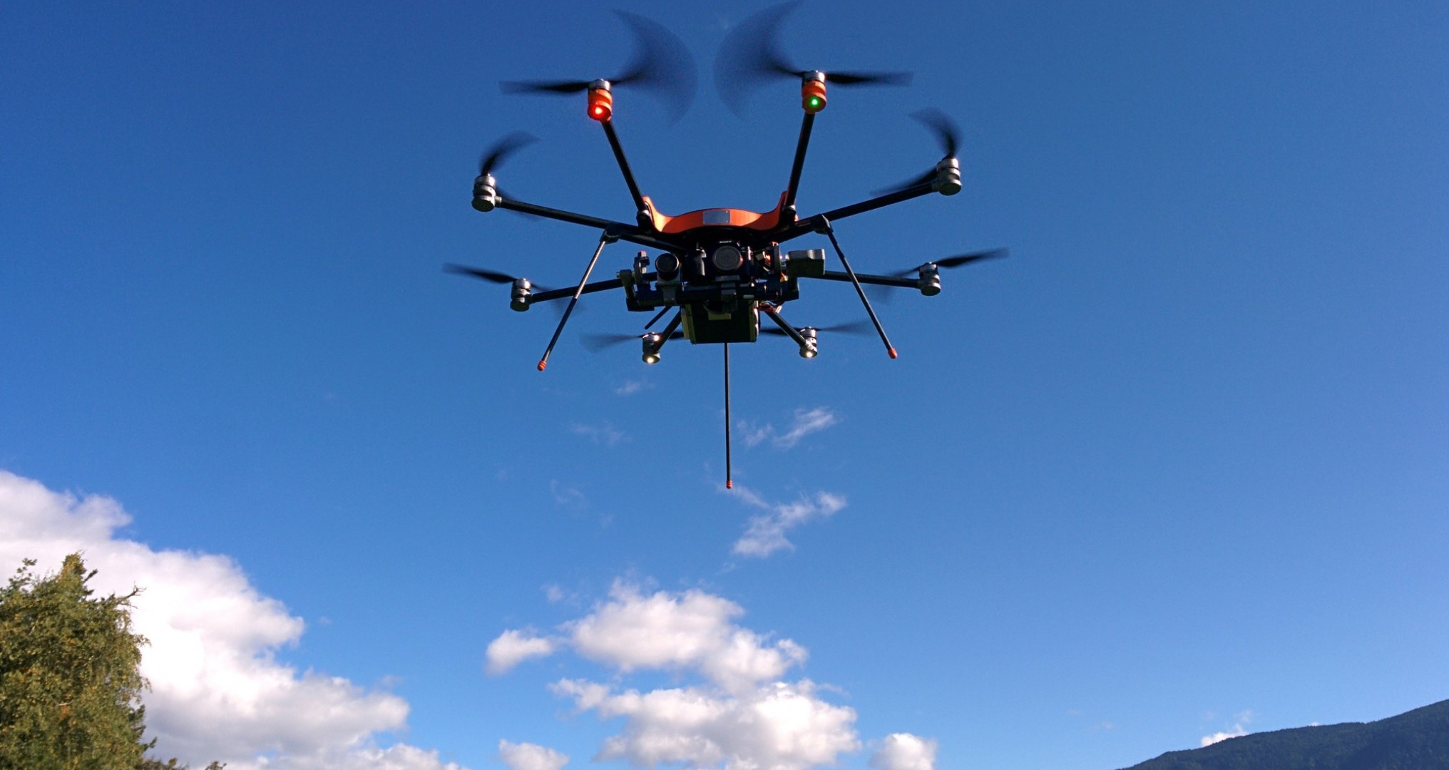
Drones for surveying
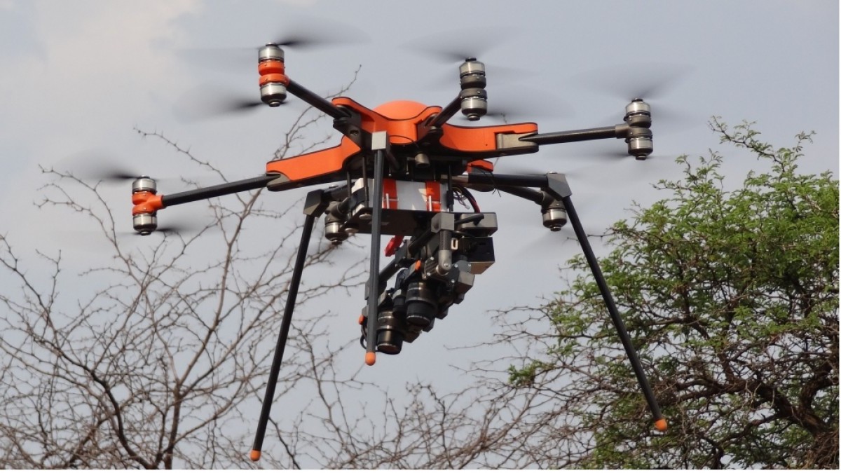
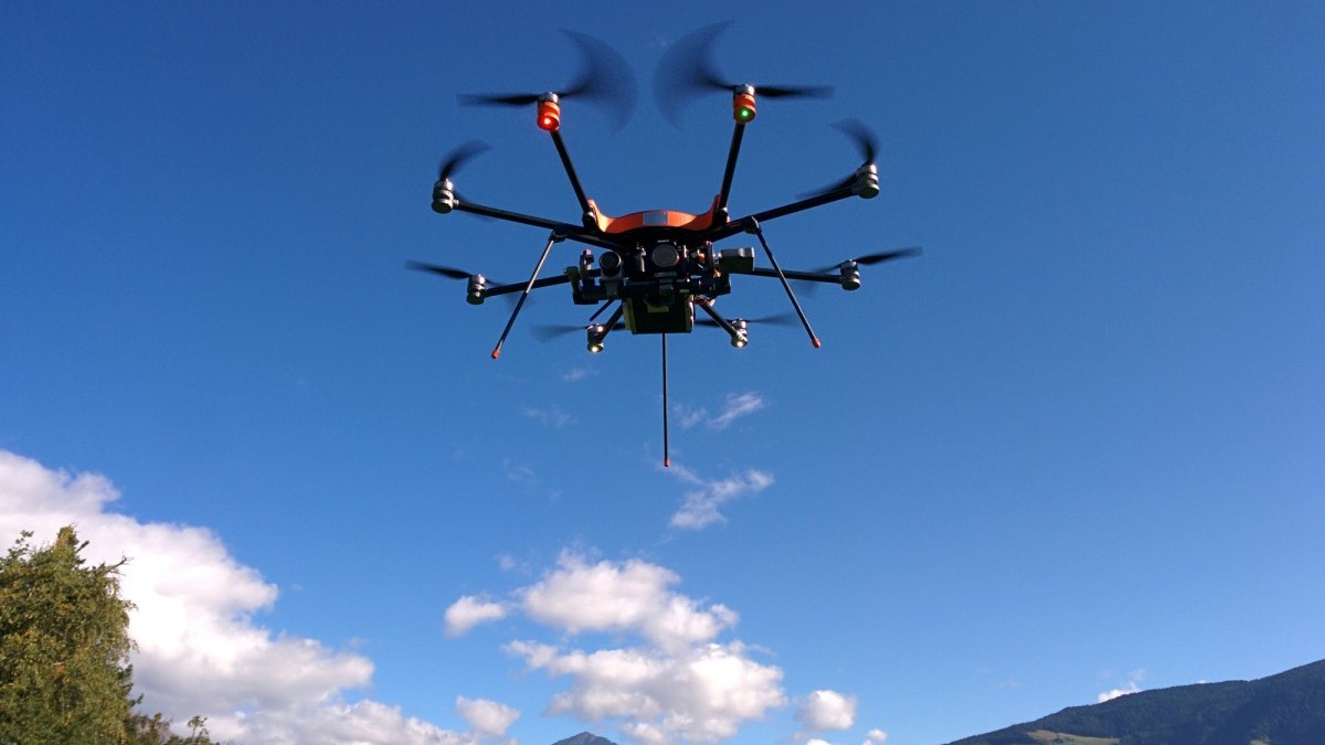
soleonLasCo x8 - the perfect copter for aerial laser scanning
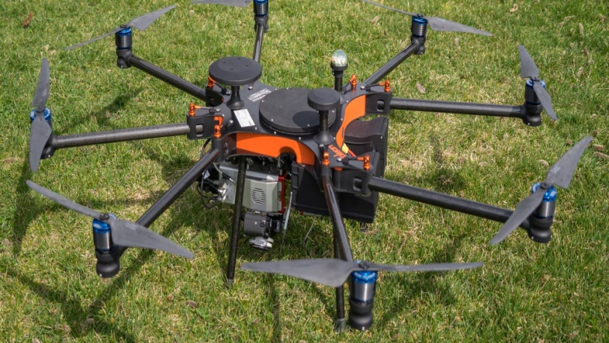
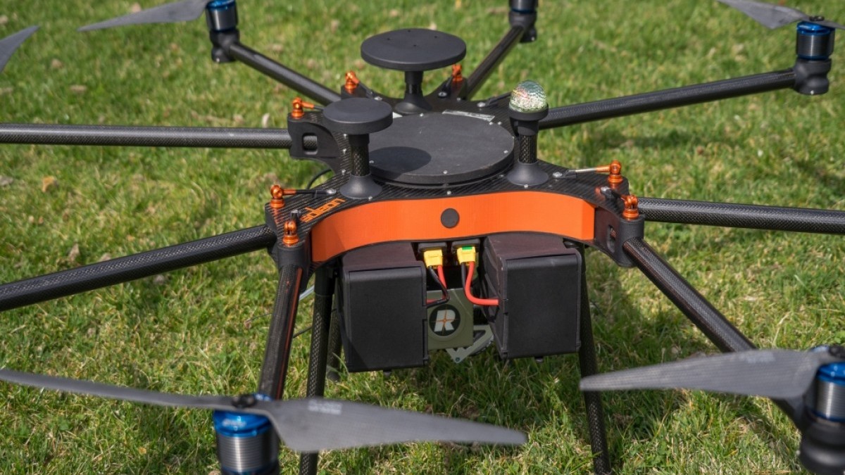
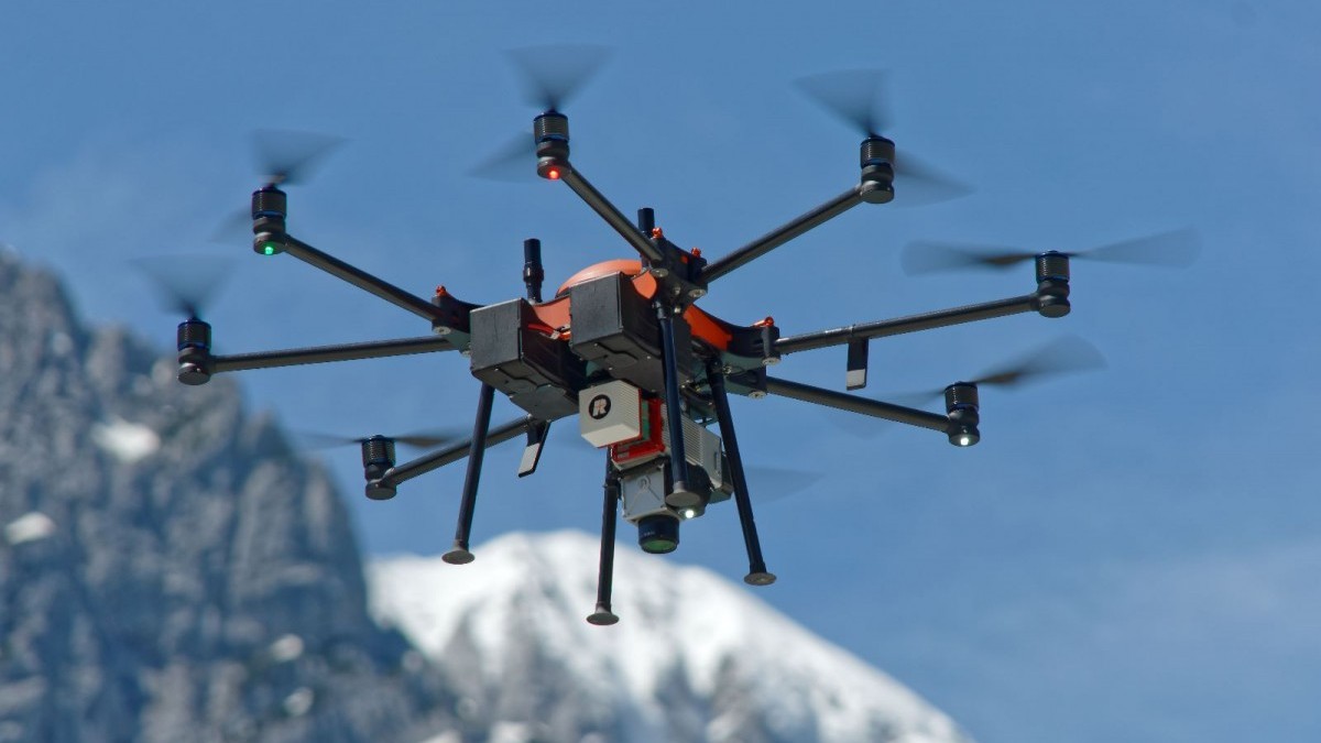
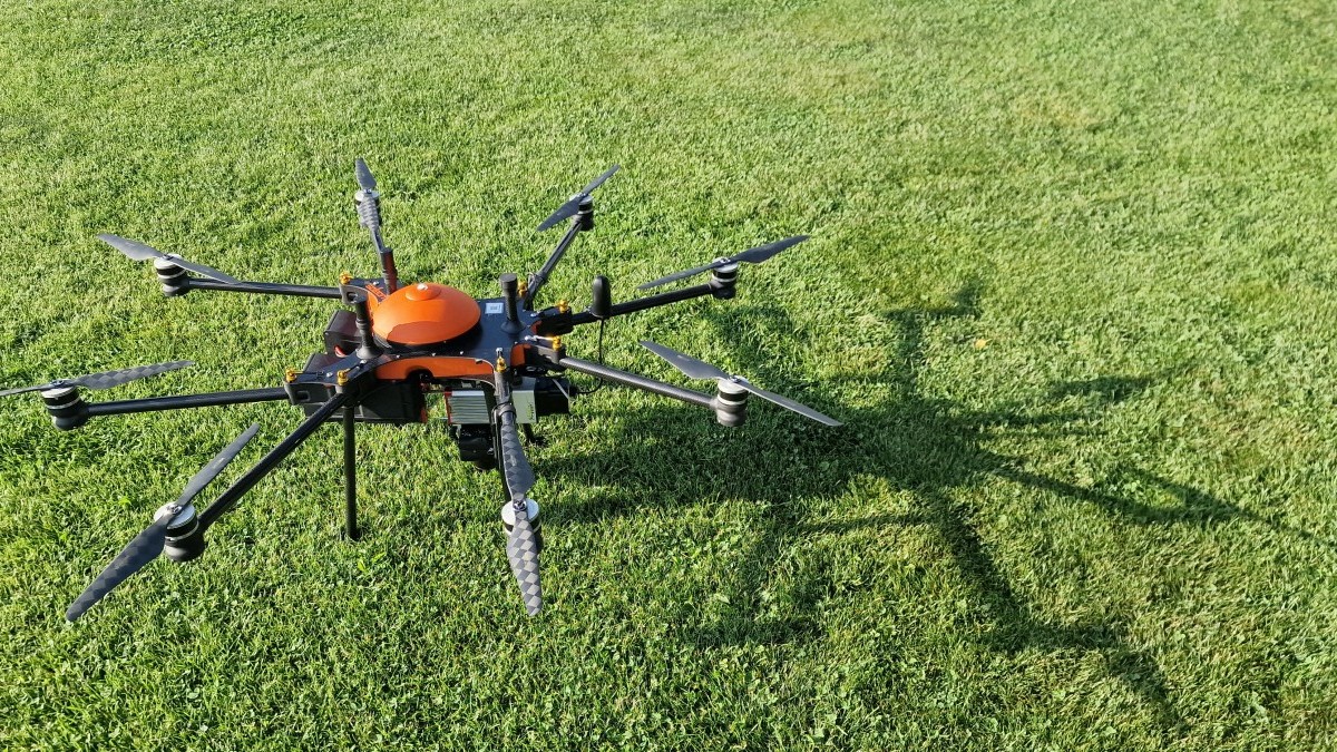
The LasCo x8 multicopter has been specially developed for mounting laser scanners and has a lot of advantages:
- Flight times up to 20 minutes
- Payload up to 4kg
- Can be used up to an altitude of 3.000m
- No limitation of the maximum altitude - this is essential for the terrain-parallel aerial survey in the mountains
- foldable and compact - for easy transport
The frame is designed by us - according to industrial standards and meets the highest standards of quality, reliability and design.
All components are produced in Europe.
Contact us!
SOLEON helps you taking measures ! Bored from going out with your Theodolite?
Lets fly over it!
Any questions? Contact